✨ Design
⌨️ Development
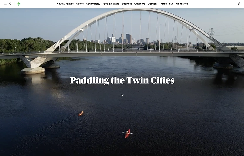
Canoe, kayak or paddleboard: Your ultimate guide to paddling routes in the Twin Cities metro area, whether you’re a beginner or a seasoned pro.
What started as a listicle of places for a quick, happy-hour paddling trip around the Twin Cities quickly evolved into a comprehensive paddling guide, built as a single-page app with custom cartography and stunning drone videography and photography. I served as the primary designer for this project, working alongside our newsroom developer Tom Nehil and cartographer Jake Steinberg (that’s Jake, his dog and I paddling in the video at the top of the page — thankfully it’s muted, or you would hear me gasping each time the canoe wobbled).
 This project was a buffet of piecemeal information waiting to be organized. We started at a whiteboard, listing all the information we needed to show and whether it would be most helpful represented on the map or elsewhere. From there, I moved into wireframing in Figma.
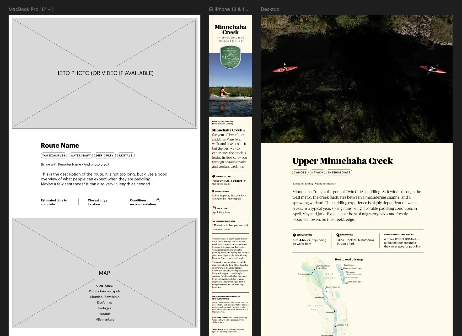 I wanted a warm, neutral background and a green accent color to bring the outdoors feel throughout. We added a muted red as a contrasting highlight. The maps were designed to have organic edges, which provide a contrast to the information gridded around them. Gorgeous imagery gathered from the research trips made my job easy, and I made sure each route had a full-bleed photo to provide maximal visual impact and scene-setting.
This piece was researched and designed in 2024, published in 2025 and updated this June with two new routes. This was a project where I was hands-on from initial concept to final build.
I also turned the paddling guide into a 12-page special section for our print newspaper. This was my second time designing print for the Strib, and I couldn’t ask for a better experience — no hard deadline, full color and no advertising. It was a designer’s dream.
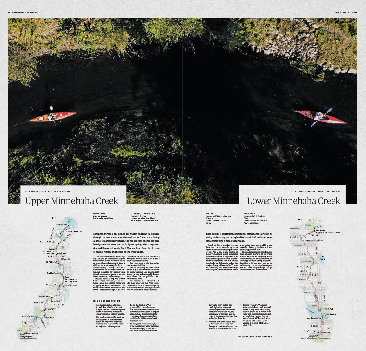 You can view the whole paddling print project here.